

Application purposes
- A didactic interface modeled on map creation steps.
- Simplicity, to be used by students and non geomaticians.
- Customization, to be user by professional geographers.
- A cross-platform free an opensource tool, waiting for feedbacks and opened to contributions.

![]()
Interface <--> Map creation steps:
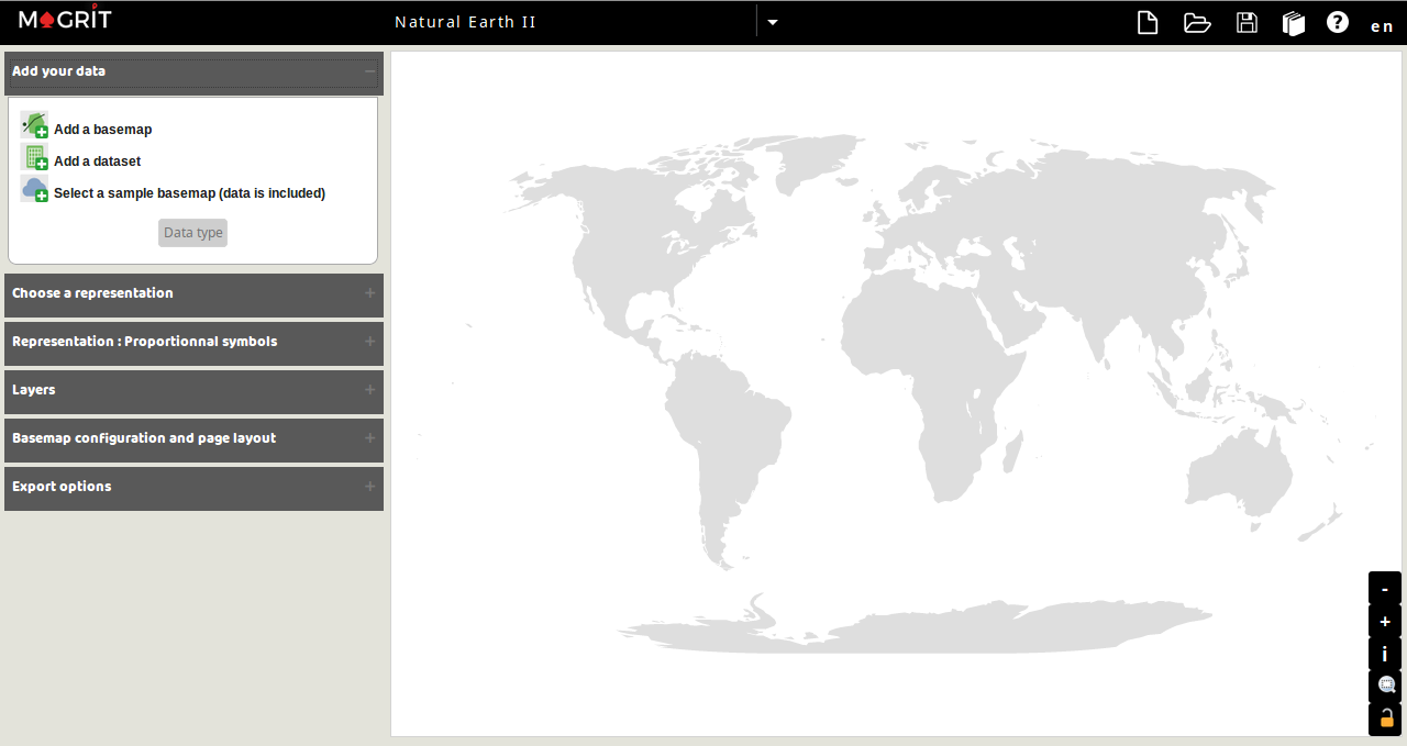
- Data import and selection of data type for each attribute field.
- Representation selection
- Basemap configuration and page layout
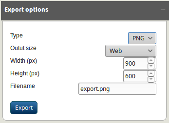
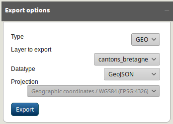
- Map export
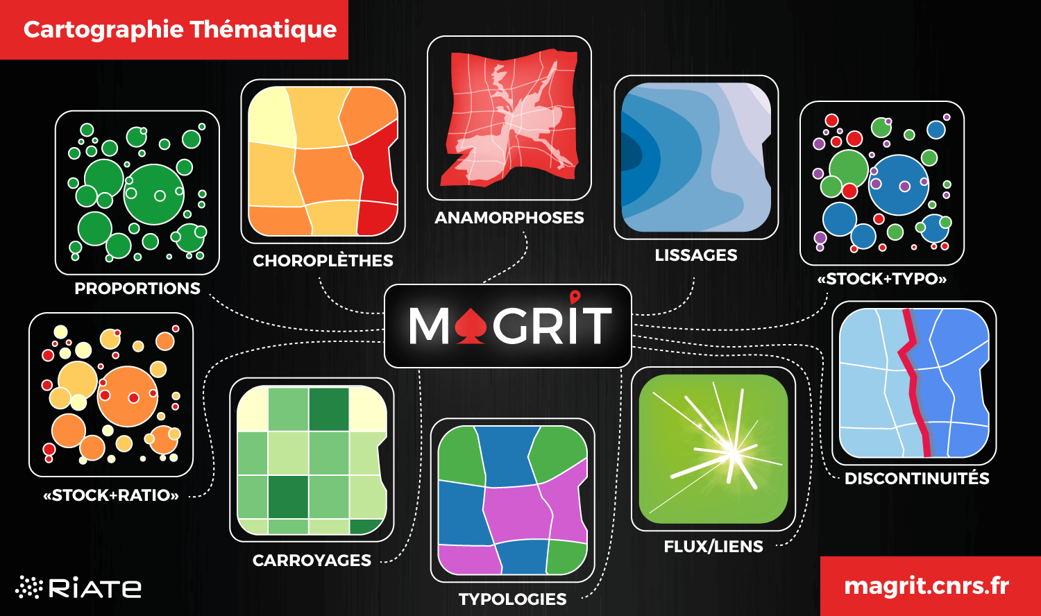
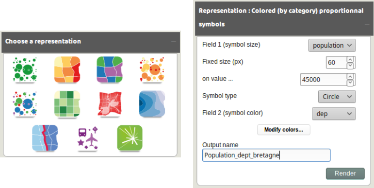
Offered representation types
5 simple types:
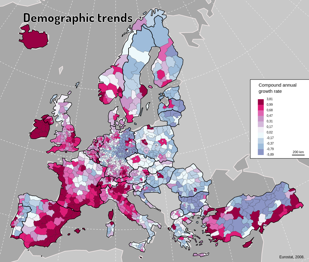
Choropleth map (by value or by category)
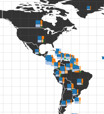
Proportional symbols map

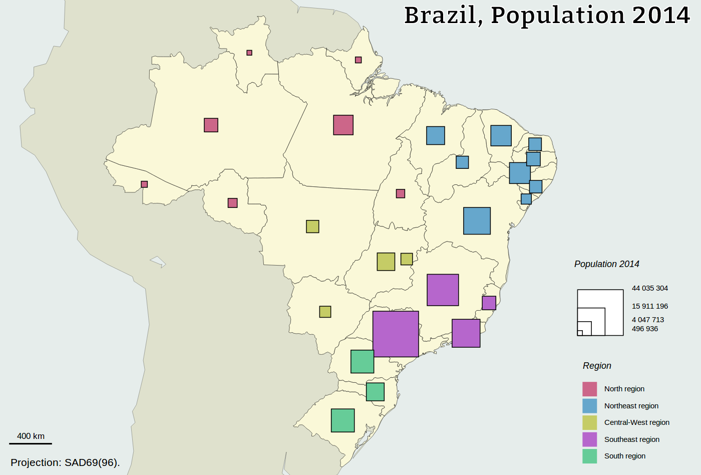
Colored (by value or by category) proportional symbols map
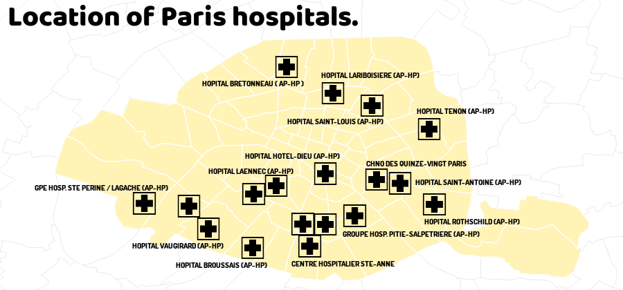
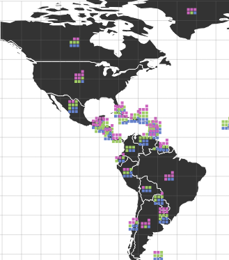
Pictogram map and labels map
5 advanced types:
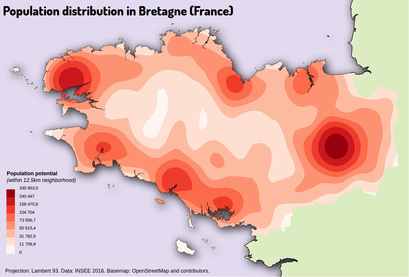
Smoothed map
Gridded map

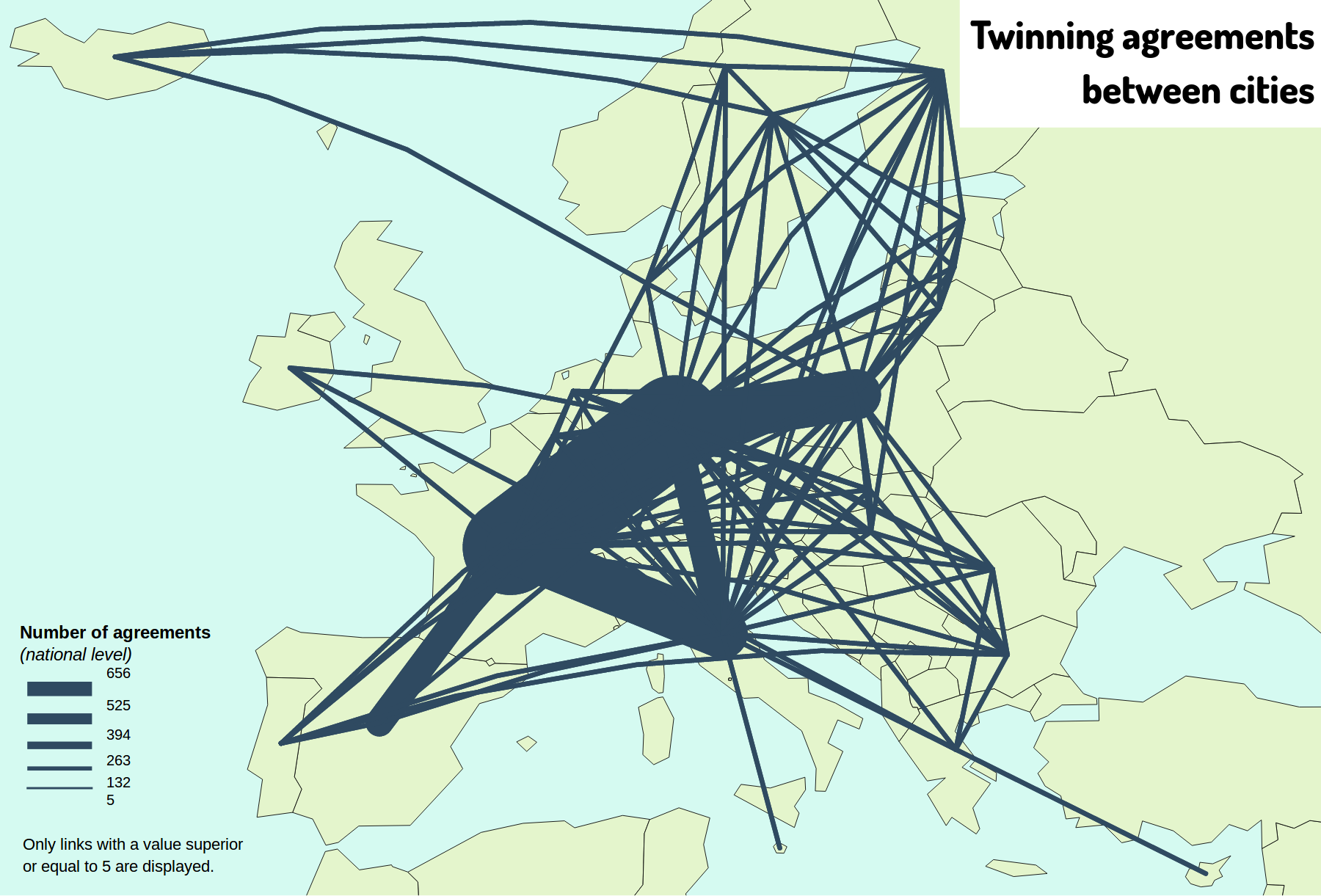
Links map
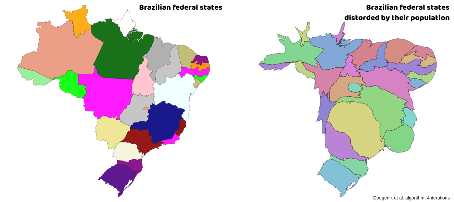
Cartograms
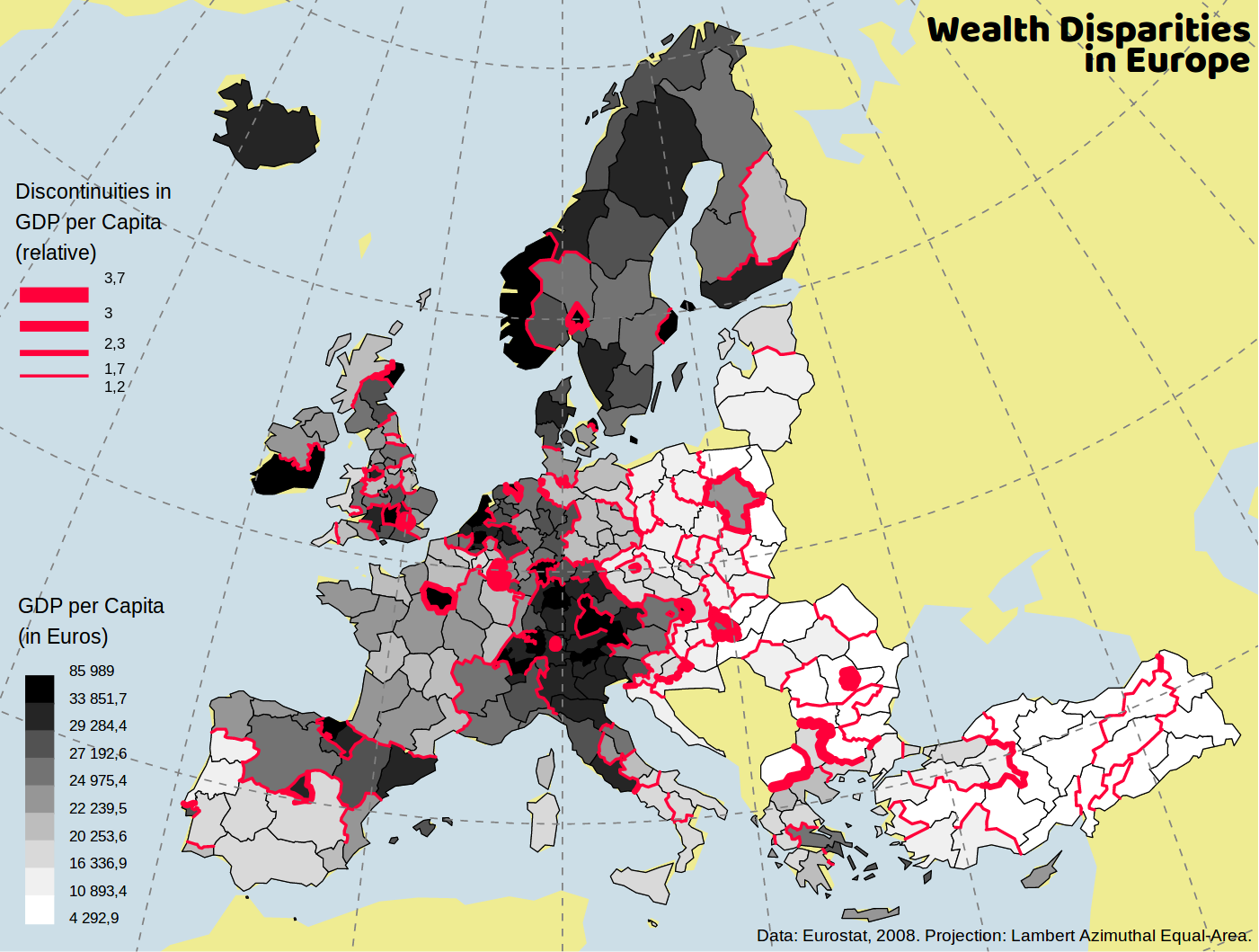
Discontinuities
Other cool features ?
- Projections
More than 60 famous projections are available directly (Berhmann, Lambert Azimuthal Equal-Area, Natural Earth II, Stereographic, etc.).
Supports to define the projection by entering a PROJ4 or an ESRI WKT string.
![]()
- Project saving/reloading
Magrit allows to save the state of your work (in JSON format) to share it and/or reload it later.
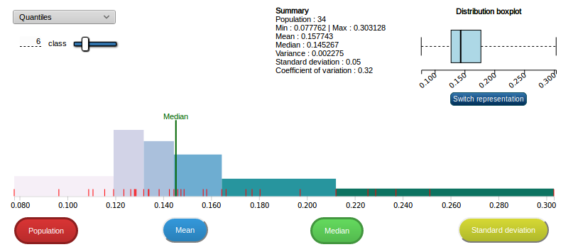
- Options for a suitable classification
Allows the user to choose between various classification methods (equal intervals, quantiles, jenks, etc.) or to manually select it's break values.
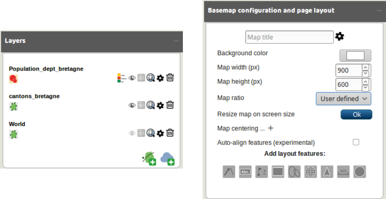
- Many customizations options
Each layer can be customized (stroke color, fill color, stroke opacity, fill opacity, stroke width, shadow, etc.)
Symbols, pictograms and labels locations can be easily edited.
Recent work and perspectives:
- More customizations (rich choice offered by svg filter).
- Tutorials focusing on specific Magrit's functionnalities or on data massaging.
- New representation mode for mapping two or more stocks (waffle map ? proportionnals treemap ?)

Thanks for your attention !
Try it online: http://magrit.cnrs.fr
Source code: https://github.com/riatelab/magrit
Today's presentation: https://mthh.github.io/icc17/
Blog (in French!): https://magrit.hypotheses.org
Contact: matthieu.viry@cnrs.fr